

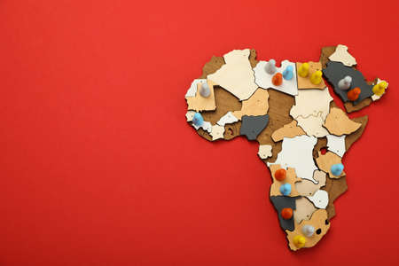
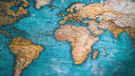
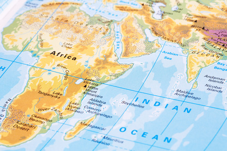
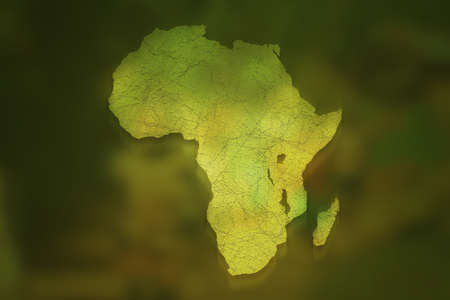
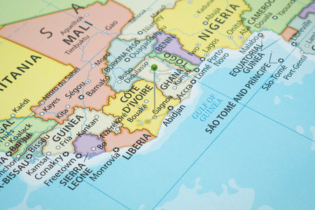
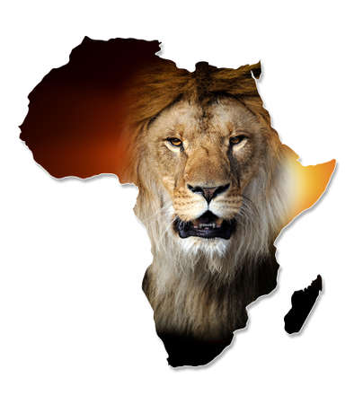
map
Коллекция по умолчанию
Коллекция по умолчанию
Создать новую
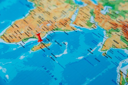
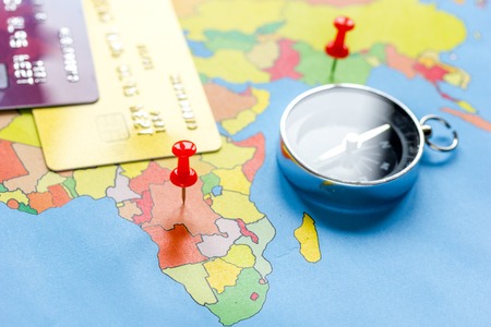
Concept of travel and adventure, traveler lifestyle
Коллекция по умолчанию
Коллекция по умолчанию
Создать новую
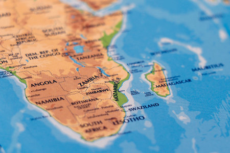
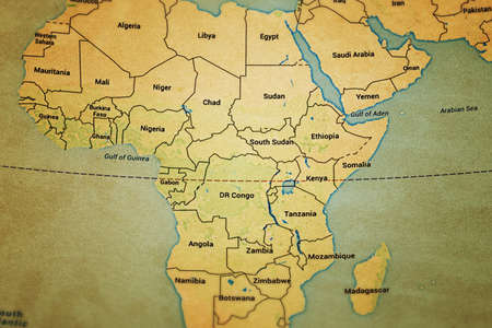
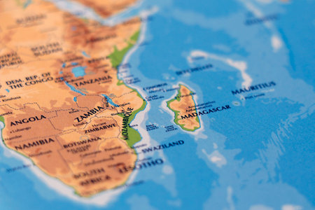
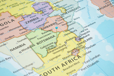
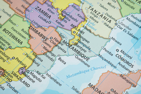
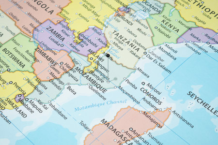
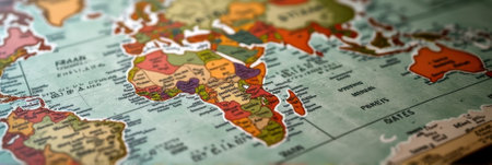
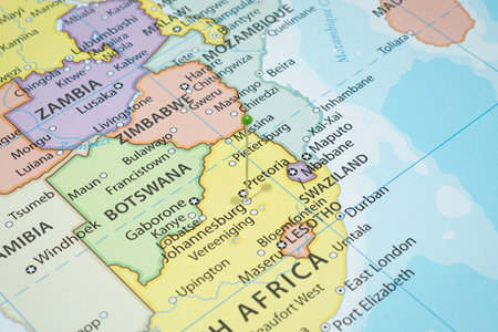
world map of african countries and arabian sea, madagascar, zimbabwe and zambia in close up focus
Коллекция по умолчанию
Коллекция по умолчанию
Создать новую
Close up to a Chiredzi city with a white pin needle into Zimbabwe country political map
Коллекция по умолчанию
Коллекция по умолчанию
Создать новую

Miniature figure of a traveler with a backpack on the world map, map in Thai.
Коллекция по умолчанию
Коллекция по умолчанию
Создать новую
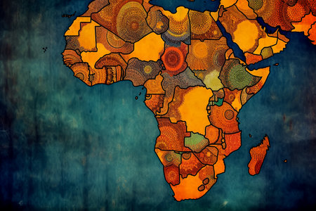
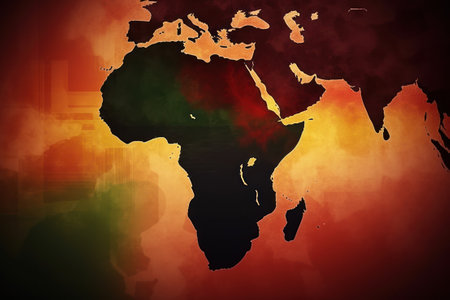
Abstract representation of the African continent, featuring vibrant colors and geometric shapes, suitable for artistic or decorative purposes.
Коллекция по умолчанию
Коллекция по умолчанию
Создать новую
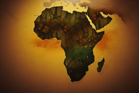
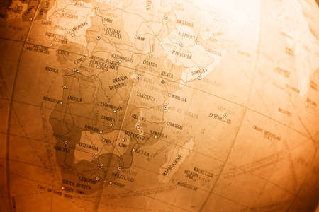
Africa Old Map Background
Коллекция по умолчанию
Коллекция по умолчанию
Создать новую
close up of little globe pencil sharpener
Коллекция по умолчанию
Коллекция по умолчанию
Создать новую
The essence of Juneteenth and African Liberation Day, showcasing the rich heritage, unity, and strength within the African and African-American communities as they celebrate their history
Коллекция по умолчанию
Коллекция по умолчанию
Создать новую
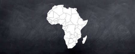
A map of the African continent sketched on the blackboard
Коллекция по умолчанию
Коллекция по умолчанию
Создать новую
Celebrate World Africa Day with an illustration featuring the iconic map of Africa, symbolizing unity, heritage, and progress. Perfect for commemorating the occasion.
Коллекция по умолчанию
Коллекция по умолчанию
Создать новую
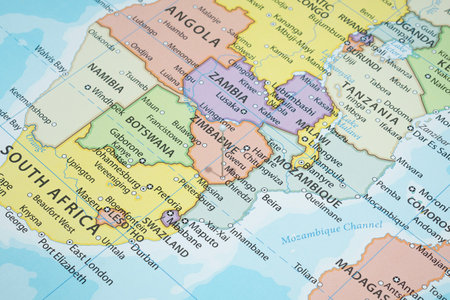
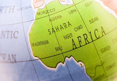
world map of african countries and arabian sea, madagascar island and zambia in close up focus
Коллекция по умолчанию
Коллекция по умолчанию
Создать новую
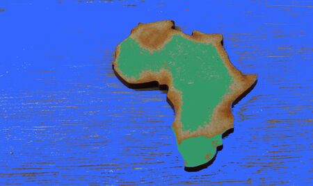
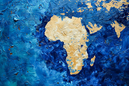
Cutout in the shape of the African continent on a weathered blue background in landscape format with copy space
Коллекция по умолчанию
Коллекция по умолчанию
Создать новую
Celebrate World Africa Day with an illustration featuring the iconic map of Africa, symbolizing unity, heritage, and progress. Perfect for commemorating the occasion.
Коллекция по умолчанию
Коллекция по умолчанию
Создать новую
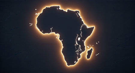
Map of Africa glowing in the dark. 3D Rendering.
Коллекция по умолчанию
Коллекция по умолчанию
Создать новую

3D image of a map of southern africa focused en shot at an angle
Коллекция по умолчанию
Коллекция по умолчанию
Создать новую
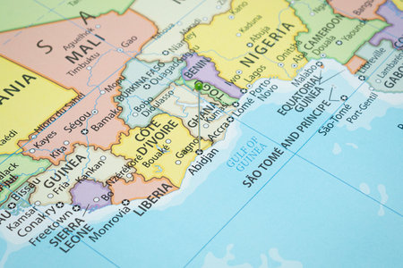
Close up to a Abidjan city with a green pin needle into Ivory Coast country political map
Коллекция по умолчанию
Коллекция по умолчанию
Создать новую

Globe on a wooden surface
Коллекция по умолчанию
Коллекция по умолчанию
Создать новую
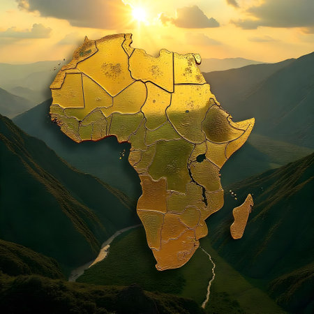
Map of Africa in golden color with sun in the background, 3d render
Коллекция по умолчанию
Коллекция по умолчанию
Создать новую

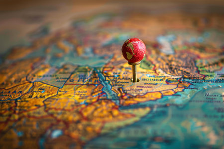
Pushpin showing the location of a destination point on a map
Коллекция по умолчанию
Коллекция по умолчанию
Создать новую

Magnifying glass focusing on Mexico on the map. selective focus.
Коллекция по умолчанию
Коллекция по умолчанию
Создать новую
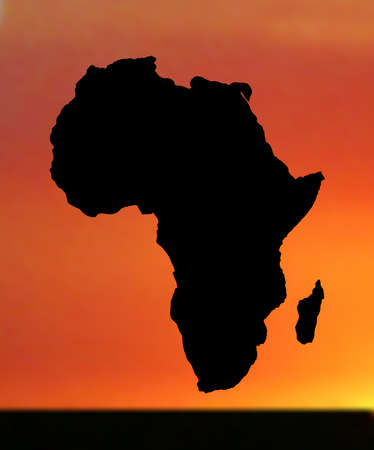
illustration of map of africa in sunset
Коллекция по умолчанию
Коллекция по умолчанию
Создать новую
Close-up of a world map with highlighted continents, sharp lines and bright contrast
Коллекция по умолчанию
Коллекция по умолчанию
Создать новую
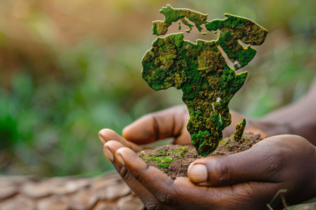
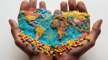
Hands presenting a moss-covered Africa map, a symbol of growth and environmental consciousness
Коллекция по умолчанию
Коллекция по умолчанию
Создать новую
world map
Коллекция по умолчанию
Коллекция по умолчанию
Создать новую
Zoom View of World Map
Коллекция по умолчанию
Коллекция по умолчанию
Создать новую

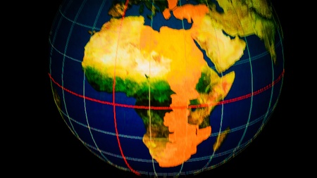
Africa map on a globe
Коллекция по умолчанию
Коллекция по умолчанию
Создать новую
pins on the map close up point to madagascar . soft focus
Коллекция по умолчанию
Коллекция по умолчанию
Создать новую
Close up to a Lobatse city with a light blue pin needle into Botswana country political map
Коллекция по умолчанию
Коллекция по умолчанию
Создать новую
The essence of Juneteenth and African Liberation Day, showcasing the rich heritage, unity, and strength within the African and African-American communities as they celebrate their history
Коллекция по умолчанию
Коллекция по умолчанию
Создать новую
Close up to a Chingola city with a yellow pin needle into Zambia country political map
Коллекция по умолчанию
Коллекция по умолчанию
Создать новую
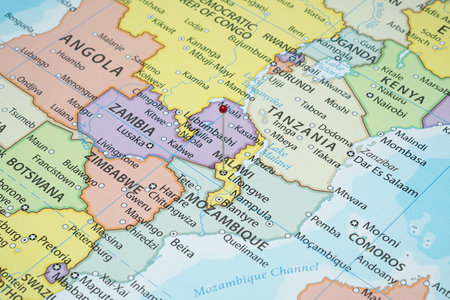
Close up to a Mozambique political map with country borders and most important cities
Коллекция по умолчанию
Коллекция по умолчанию
Создать новую
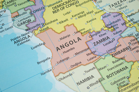
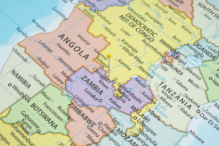
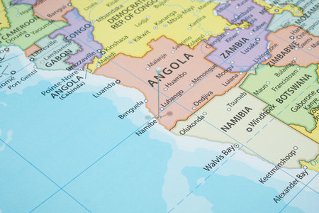
Close up to an Angola political map with country borders and most important cities
Коллекция по умолчанию
Коллекция по умолчанию
Создать новую
Vibrant Digital Visualization of a Glowing Networked World Symbolizing Africa s Transformation
Коллекция по умолчанию
Коллекция по умолчанию
Создать новую
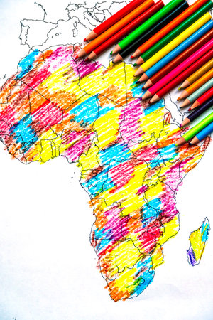
Africa Map Drawing with Colored Pencils for Kids
Коллекция по умолчанию
Коллекция по умолчанию
Создать новую
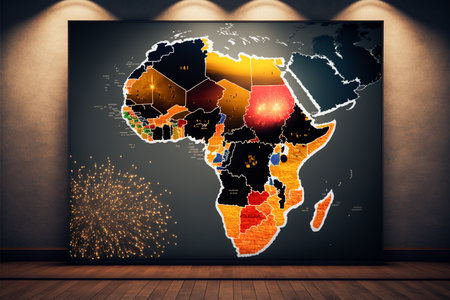
A map of Africa propped up against a wall, lit by four spotlights, on a wooden floor. Concept of World African Heritage Day
Коллекция по умолчанию
Коллекция по умолчанию
Создать новую
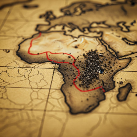
A focused, close-up (macro) photograph centered on a fragile, sepia-toned 17th-century parchment map
Коллекция по умолчанию
Коллекция по умолчанию
Создать новую
Close up to a Nampula city with a black pin needle into Mozambique country political map
Коллекция по умолчанию
Коллекция по умолчанию
Создать новую
Blue map of Africa with flag against white background
Коллекция по умолчанию
Коллекция по умолчанию
Создать новую
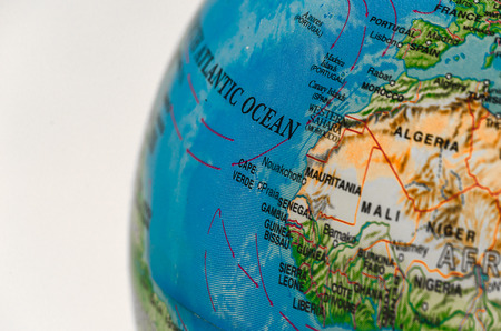
Part of the world physical map with Asia and Africa.
Коллекция по умолчанию
Коллекция по умолчанию
Создать новую
style gold africa
Коллекция по умолчанию
Коллекция по умолчанию
Создать новую
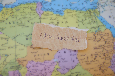
Written text on the paper placed on the map of African continent: Africa travel tips
Коллекция по умолчанию
Коллекция по умолчанию
Создать новую
Close up to a Lilongwe city with a red pin needle into Malawi country political map
Коллекция по умолчанию
Коллекция по умолчанию
Создать новую
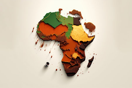
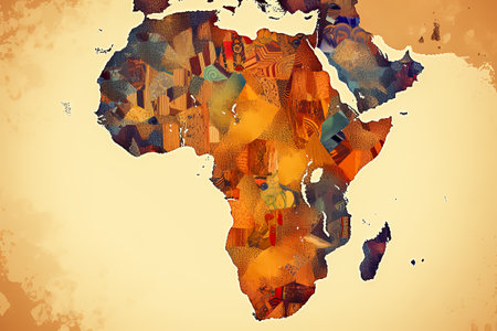
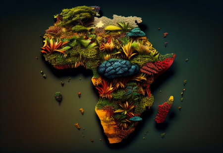
Illustration of the map of the African continent with colors. Generative AI
Коллекция по умолчанию
Коллекция по умолчанию
Создать новую
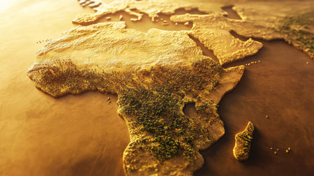
African Continent Background
Коллекция по умолчанию
Коллекция по умолчанию
Создать новую
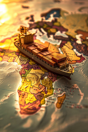
cargo container ship model over the world map. Shipownersip, wealth, transportation concept. High quality photo
Коллекция по умолчанию
Коллекция по умолчанию
Создать новую
Close up to a Maputo city with a black pin needle into Mozambique country political map
Коллекция по умолчанию
Коллекция по умолчанию
Создать новую
Africa Continent Background
Коллекция по умолчанию
Коллекция по умолчанию
Создать новую
Vintage world map with highlighted countries and geographic details. That the image is generated using AI.
Коллекция по умолчанию
Коллекция по умолчанию
Создать новую

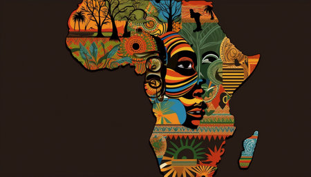
Face of African woman inside the map of Africa
Коллекция по умолчанию
Коллекция по умолчанию
Создать новую

Globe on a wooden surface
Коллекция по умолчанию
Коллекция по умолчанию
Создать новую
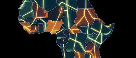
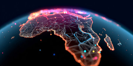
The African continent is illustrated with glowing lines for roads cities and connections on a deep black background showing its geography and infrastructure.
Коллекция по умолчанию
Коллекция по умолчанию
Создать новую
Close up to a Namibe city with a white pin needle into Angola country political map
Коллекция по умолчанию
Коллекция по умолчанию
Создать новую
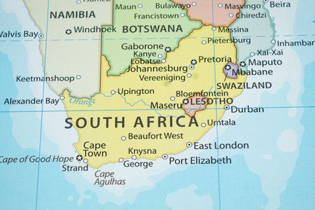
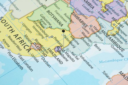
Close up to a South Africa political map with country borders and most important cities
Коллекция по умолчанию
Коллекция по умолчанию
Создать новую

Africa continent on a wooden world map on a wall. Egypt, Libya countries
Коллекция по умолчанию
Коллекция по умолчанию
Создать новую
Africa map covered with plants. The concept of protecting nature. Illustration by Generative AI.
Коллекция по умолчанию
Коллекция по умолчанию
Создать новую
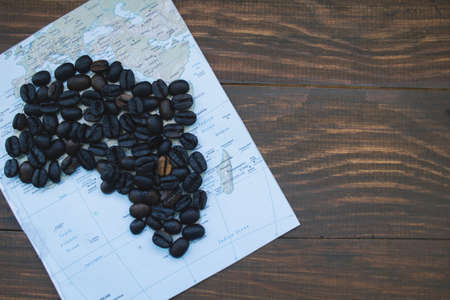
map of Africa and coffee beans on wooden table, top view
Коллекция по умолчанию
Коллекция по умолчанию
Создать новую
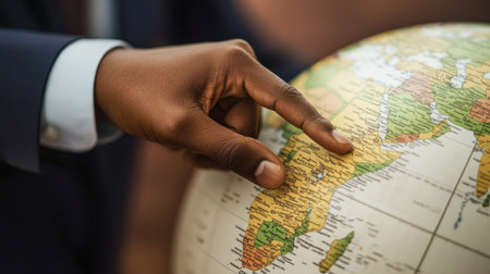
A businessman hand pointing to Africa on a world globe, representing the planning of global business strategies
Коллекция по умолчанию
Коллекция по умолчанию
Создать новую
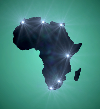
Map of Africa with major cities marked with a light
Коллекция по умолчанию
Коллекция по умолчанию
Создать новую
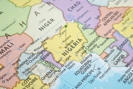
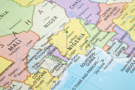
Close up to an Abuja city with a green pin needle into Nigeria country political map
Коллекция по умолчанию
Коллекция по умолчанию
Создать новую
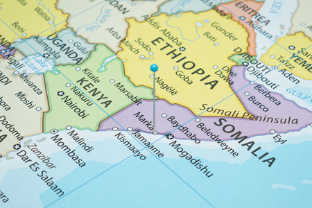
Close up to a Merca city with a light blue pin needle into Somalia country political map
Коллекция по умолчанию
Коллекция по умолчанию
Создать новую
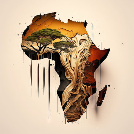
An AI generated illustration of the continent of Africa with trees inside of it
Коллекция по умолчанию
Коллекция по умолчанию
Создать новую
Close up to a Iwo city with a green pin needle into Nigeria country political map
Коллекция по умолчанию
Коллекция по умолчанию
Создать новую
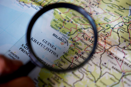
A map of Malabo is the capital of Equatorial Guinea Is shown with a magnifying glass
Коллекция по умолчанию
Коллекция по умолчанию
Создать новую
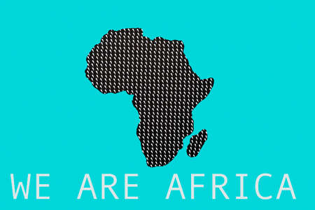
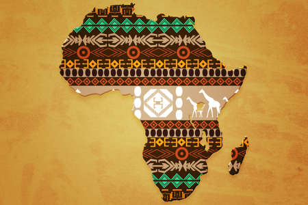
the silhouette of africa cut out from a patterned paper, and the text we are africa on a blue background
Коллекция по умолчанию
Коллекция по умолчанию
Создать новую
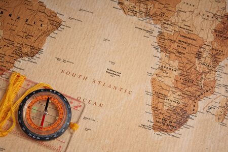
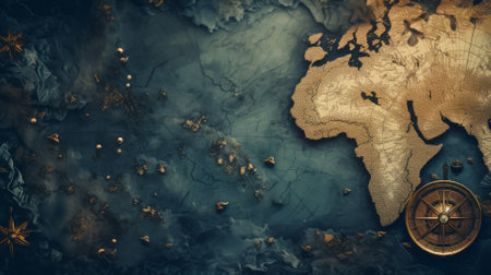
compass on old world map
Коллекция по умолчанию
Коллекция по умолчанию
Создать новую
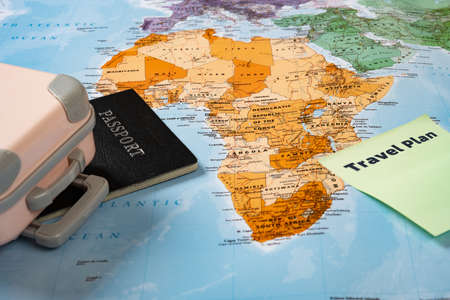
luggage and passport and note written with travel plan on top of a world map
Коллекция по умолчанию
Коллекция по умолчанию
Создать новую
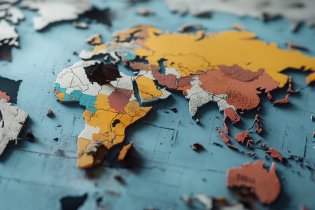
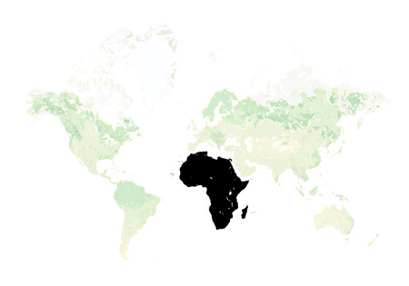
This representation of a global map features fragments highlighting continents like Africa and Europe with vibrant colors depicting different regions, illustrating geographical diversity.
Коллекция по умолчанию
Коллекция по умолчанию
Создать новую
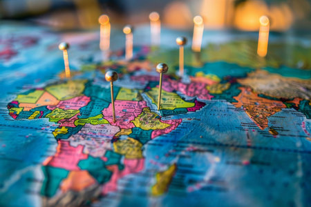
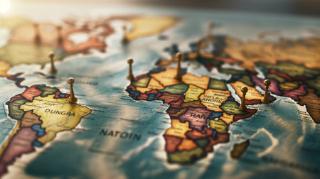
Colorful map pinned with destinations and routes visualizes travel plans and dreams.
Коллекция по умолчанию
Коллекция по умолчанию
Создать новую
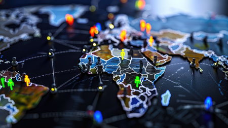
Digital illustration of global team connections, outsourcing, HR, and tech strategy network
Коллекция по умолчанию
Коллекция по умолчанию
Создать новую
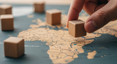
A close-up shot shows a hand placing a wooden cube on a map of Africa. Several other wooden cubes are scattered across the map. The map is beige with blue ocean areas.
Коллекция по умолчанию
Коллекция по умолчанию
Создать новую

Africa silhouette with orange background like a sunset
Коллекция по умолчанию
Коллекция по умолчанию
Создать новую
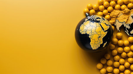
top view of world health day concept background with planet earth ornament and yellow background
Коллекция по умолчанию
Коллекция по умолчанию
Создать новую

Bangkok, Thailand May 15, 2022 World map paper, closeup view.
Коллекция по умолчанию
Коллекция по умолчанию
Создать новую
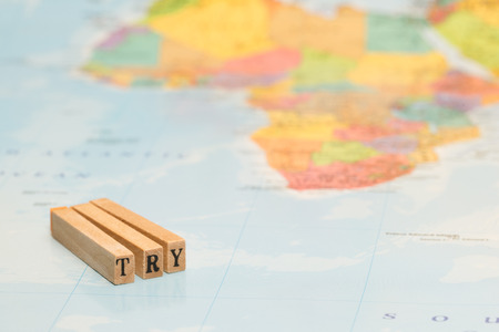
TRY
Коллекция по умолчанию
Коллекция по умолчанию
Создать новую
This image depicts a region affected by water scarcity-related conflict, such as a border dispute over water resources or a drought-induced migration. It highlights the social and geopolitical implications of water scarcity. Water scarcity can have profound social and geopolitical implications, as access to water becomes a critical issue in many regions of the world. By raising awareness of the potential for water scarcity to fuel conflict and instability, this image encourages viewers to take action to conserve water resources and promote sustainable water management practices. This image represents the urgent need to address the social and geopolitical implications of water scarcity in order to promote peace and stability.
Коллекция по умолчанию
Коллекция по умолчанию
Создать новую
Close up to a Gagnoa city with a green pin needle into Ivory Coast country political map
Коллекция по умолчанию
Коллекция по умолчанию
Создать новую
Travel preparation and booking car with credit cards on touristic map background
Коллекция по умолчанию
Коллекция по умолчанию
Создать новую

Pin on the world map on cape town, South Africa.
Коллекция по умолчанию
Коллекция по умолчанию
Создать новую
Africa
Коллекция по умолчанию
Коллекция по умолчанию
Создать новую
Planet Earth is on your hands. Celebrate Earth and Environment Day. Save the Earth.
Коллекция по умолчанию
Коллекция по умолчанию
Создать новую
Africa Wildlife Map Design - Isolated on White
Коллекция по умолчанию
Коллекция по умолчанию
Создать новую

Concept of travel and adventure, traveler lifestyle
Коллекция по умолчанию
Коллекция по умолчанию
Создать новую
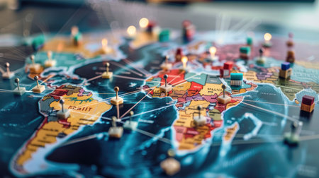
Business executives strategize around a digital supply chain map, focusing on pins representing foreign suppliers, symbolizing streamlined global trade and distribution efficiency.
Коллекция по умолчанию
Коллекция по умолчанию
Создать новую
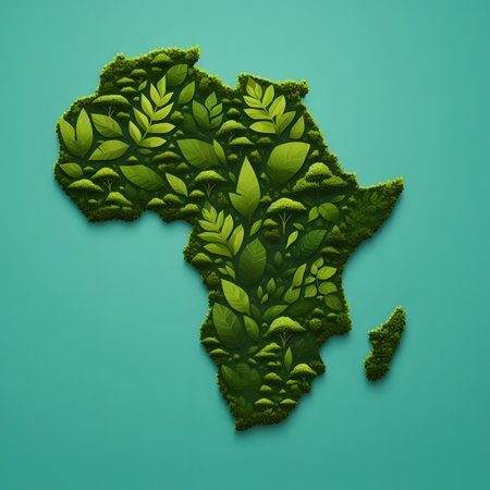
Ecology concept with map of Africa made of green leaves, 3d render
Коллекция по умолчанию
Коллекция по умолчанию
Создать новую
Red push pin marking a location on a world map
Коллекция по умолчанию
Коллекция по умолчанию
Создать новую
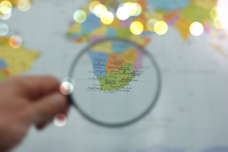
A hand holds a magnifying glass over a map, highlighting South Africa. The map displays various cities and landmarks, showing geographical features and borders.
Коллекция по умолчанию
Коллекция по умолчанию
Создать новую

Close-up fragment of a world map with selective focus Continent Africa, African Union (AU) continent, Organisation of African Unity
Коллекция по умолчанию
Коллекция по умолчанию
Создать новую
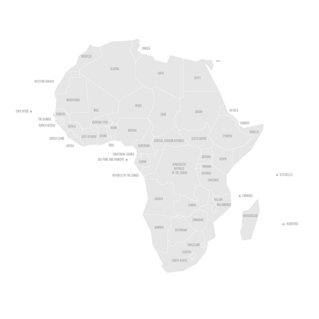
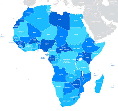
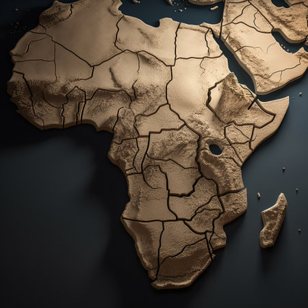
Simplified schematic map of Africa. Vector political map.
Коллекция по умолчанию
Коллекция по умолчанию
Создать новую
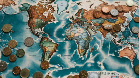
Coins and currency notes of different countries spread out on a map
Коллекция по умолчанию
Коллекция по умолчанию
Создать новую
World Map on white background. map of Africa
Коллекция по умолчанию
Коллекция по умолчанию
Создать новую
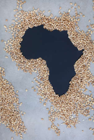
Africa as hunger and shortages loom. Grain shortage and food security, a world in crisis during war between Russia and Ukraine
Коллекция по умолчанию
Коллекция по умолчанию
Создать новую

Diverse silhouettes in front of a vibrant, painted world map on fabric
Коллекция по умолчанию
Коллекция по умолчанию
Создать новую
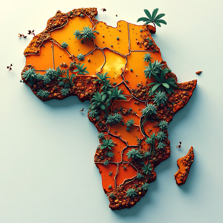
Top-down view of an orange colored map of Africa showcasing green foliage and rough terrain creating a textured and symbolic image perfect for global and travel contexts.
Коллекция по умолчанию
Коллекция по умолчанию
Создать новую
Map of Europe with pins. Travel and tourism concept. Selective focus.
Коллекция по умолчанию
Коллекция по умолчанию
Создать новую
old map of brasil background
Коллекция по умолчанию
Коллекция по умолчанию
Создать новую
Close up to a Johannesburg city with a green pin needle into South Africa country political map
Коллекция по умолчанию
Коллекция по умолчанию
Создать новую
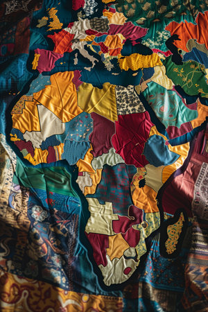
A vibrant and detailed map of Africa and Europe constructed from various fabric patches, featuring a rich tapestry of colors, textures, and patterns for a unique artistic representation.
Коллекция по умолчанию
Коллекция по умолчанию
Создать новую
Vintage map texture, travel and adventure background
Коллекция по умолчанию
Коллекция по умолчанию
Создать новую
African ethnic woman face with african ornaments. vector illustration
Коллекция по умолчанию
Коллекция по умолчанию
Создать новую
Legion-Media
Создайте свои проекты на основе качественных стоковых фотографий и видео.


Copyright © Legion-Media.